Innovative solutions for businesses and communities to mitigate climate-driven impact by harmonizing scientific advances.
EARTH OBSERVATION ANALYTICS
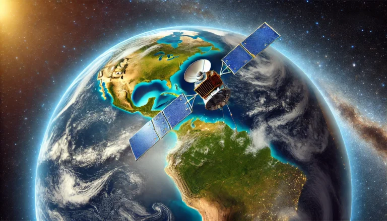
Seeing the World from a New Perspective: Our satellite-driven solutions provide actionable insights to drive sustainability and resilience across various sectors. With access to advanced earth observation systems, we offer tailored data products and analytics for industries like agriculture, forestry, water management, urban planning, and environmental monitoring.
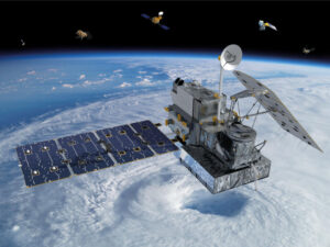
GPM (Global Precipitation Measurement) provides high-resolution rainfall and snowfall data, supporting agriculture, water resource management, renewable energy forecasting, and disaster management through accurate tracking of precipitation patterns worldwide.
MODIS (Moderate Resolution Imaging Spectroradiometer): Used for large-scale global monitoring. Ideal for agriculture (crop health and yield prediction), forestry(deforestation tracking), and environmental monitoring (wildfire detection, aerosol mapping).
VIIRS (Visible Infrared Imaging Radiometer Suite): A powerful tool for disaster response (wildfires, hurricanes), environmental monitoring (nighttime lights, vegetation health), and water management (snow and ice cover tracking, ocean color monitoring).
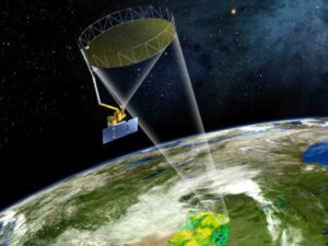
SMAP (Soil Moisture Active Passive): Key for agriculture (soil moisture assessments for irrigation planning), water resource management (drought detection), and climate studies (monitoring soil-vegetation-atmosphere interactions).
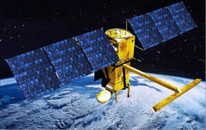
The NASA SWOT (Surface Water and Ocean Topography) satellite mission provides detailed measurements of surface water and ocean elevations, enhancing our understanding of Earth's water resources and climate impacts on freshwater and coastal systems.
GEDI (Global Ecosystem Dynamics Investigation): Specializes in forest structure data, vital for forestry (biomass estimates, carbon stock assessments), climate change monitoring, and conservation efforts.
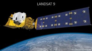
Landsat: The long-running satellite series provides detailed land cover data. Crucial for urban planning (land use change, infrastructure development), forestry (forest cover mapping), and agriculture (irrigation mapping, crop classification).